Bateswood Country Park: low water level of lake
Introduction
The photograph on this page of Bateswood Country Park: low water level of lake by Jonathan Hutchins as part of the Geograph project.
The Geograph project started in 2005 with the aim of publishing, organising and preserving representative images for every square kilometre of Great Britain, Ireland and the Isle of Man.

There are currently over 7.5m images from over 14,400 individuals and you can help contribute to the project by visiting https://www.geograph.org.uk
Bateswood Country Park: low water level of lake
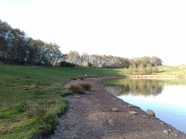
Image: © Jonathan Hutchins Taken: 21 Apr 2010
This is the west side of the lake.
Images are licensed for reuse under creativecommons.org/licenses/by-sa/2.0
Image Location
Latitude
53.035624
Longitude
-2.309695